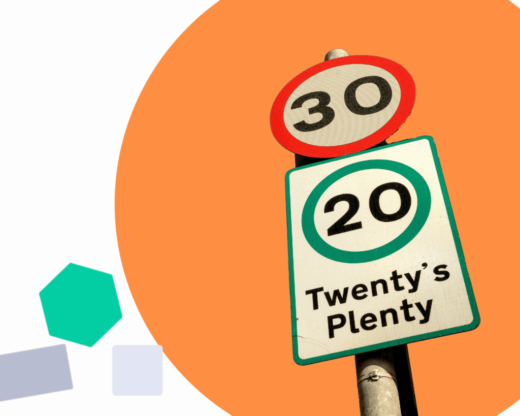
We all know that speeding on our roads is an issue, it leads to poorer road safety and reduced walkability. Whilst problematic driver behaviours are often reported, in many cases speeding is not simply the non-adherence to road laws.
Characteristics of the built environment, such as the planning of streets, road design and physical geography of an area can all influence a driver’s perception of the speed limit. In some areas, where the speed limit doesn’t match driver’s perceptions, the environment itself can create dangerous driving conditions.
Understanding both where and why speeding is taking place is an important step in improving the design of our roads and city environments to increase safety for drivers, cyclists, and pedestrians. With around 5 million goods vehicles on the road each day, the behaviour of professional drivers can offer insight into the perception of speed limits.
Researchers, led by Professor Ed Manley, at the Healthy and Sustainable Places Data Service have been working with connected vehicle data from Compass IOT to highlight areas of concern across 13 British City Regions.
Explore the cities on our map-based tool
Our new dashboard allows you to explore the speed limit adherence rate of goods vehicles across:
- Cambridge
- Cardiff
- Edinburgh
- Glasgow
- Greater Manchester
- Liverpool
- London
- Newcastle
- Oxford
- South Yorkshire
- West Midlands
About the underlying data
The dashboard uses anonymised vehicle GPS trajectory data supplied by our data partner Compass IoT, this dataset is available to researchers via application through our data service.
- 794,127 goods vehicles (HGV and LGV)
- 3.2 million trips in October 2023
- data for each trip includes coordinate, speed, timestamp, and acceleration
We also use the Ordnance Survey Mastermap Highways network (under the Ordnance Survey Educational User License), with additional road level data provided under licence by Basemap – these data are not available for download via the dashboard.
Apply to use the underlying data
You can apply to use the LSOA level and Road (Link) level data via our data service:
Find out more and view LSOA level metadata.
Find out more and view Road (Link) level metadata.


")