
The British government has made significant investments in the installation and improvement of active travel (e.g., cycling and walking) infrastructure over the last 10 years, promoting cycling as a sustainable mode of transport that can help alleviate congestion and reduce air pollution.
However, the impact of these interventions remains largely unclear. Do these measures genuinely encourage more people to take up cycling, or do we simply see existing cyclists shift their routes from nearby roads?
Addressing these questions could provide a solid rationale for further investment in cycling infrastructure, and I believe that smart data could provide some answers.
I am currently using smart data from Strava and Compass IOT, alongside open data sources, to explore cycling infrastructure and cycling activity in the UK.
Furthermore, we know that vehicular speeding poses a safety threat to cyclists and may discourage cycling uptake. It means vehicles may undermine the potential effects of bicycle lane investment. So we are incorporating speeding data from Compass IOT to investigate the complex interactions between cycling infrastructure, speeding behaviours, and cycling volume.
We hope that the findings will offer important implications for infrastructure investment, governance, and traffic management.
How can smart data help us understand changing travel behaviours?
Ideally, transport researchers need representative mobility and travel information from urban residents to support the development of sustainable and healthy built environments.
However, obtaining high-quality and detailed travel data has traditionally been both challenging and costly. The emergence of smart data, including public transit usage records, mobile phone signalling data, and shared mobility or fitness app records, has significantly changed this landscape.
There are several advantages of using smart data to understand travel behaviours:
- Smart data greatly enriches the spatial and temporal resolution of available information and reflects population-level usage in cities
- These datasets often have consistent data structures, enabling researchers to conduct large-scale geographical or even national-level studies
- Smart data allows researchers to investigate a wider range of topics related to health and sustainability behaviours, such as the interplay between the urban environment and shared mobility use, fitness behaviours, and variations in mobility across different time periods
The availability of smart data is not only valuable for the scientific community but also represents a key aspect of digital assets serving the public.
In Hong Kong, where I studied and worked previously, open access to built environment and urban design data has been common in recent years. As a result, researchers can conduct their studies with fewer data barriers. Open-access data also enables researchers to share code and original datasets, facilitating further validation and replication between researchers.
Using data from the Healthy and Sustainable Places Data Service
Since joining the Healthy and Sustainable Places Data Service earlier this year, I have been using crowdsourced mobility data, which is often aggregated to represent population-level behaviours. These data are aggregated to the level of street links, neighbourhoods, or cities to address safety and ethical concerns.
Traditionally, collecting daily mobility information from individuals has been both financially and labour-intensive. However, crowdsourced mobility data collected from mobile devices, such as vehicle GPS trajectories or fitness app data, can reveal population-level behaviours at a much lower cost. This enables researchers to gain a better understanding of mobility patterns in large geographical areas.
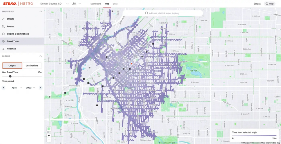
Fig. 2 Strava Metro dashboard
Removing Data Barriers for Research and Public Decision‑Making
Traditionally, the quality of research outputs was often in part determined by researchers’ abilities to acquire data, with a lack of access creating an invisible barrier to conducting high-quality research. Smart Data Research UK are working to remove some of these barriers by creating safe and secure routes for companies to share smart data, to enable equitable and impactful research.
Smart data processed for research by a dedicated centre, such as the Healthy and Sustainable Places Data Service, ensures professional data processing, proper access to safeguarded data, and can meet the demands of the data users and researchers via feedback and application.
Open smart data can be extended and used by the public. For instance, visualised, publicly available area-level or regional-level information regarding access to groceries, food, and public transport systems can support individuals to better understand their local environment and make residential location and housing purchasing decisions.
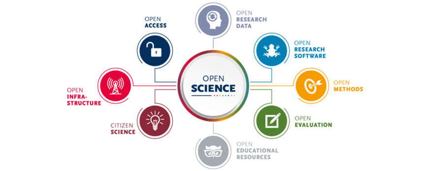
Fig. 3 Key concepts of Open Methods in Open Science
Within HASP, our research data scientist team is processing mobile phone signalling data, street-level cycling flows, and vehicle speeding behaviours derived from GPS data across multiple British cities. This is in addition to pre-existing place-based health and socio-economic datasets. These datasets can provide high-quality information for place-based research and policy-making.
References:
Chen, L., & Manley, E. (2025). Speeding Behaviour Data 2023 – Road Link level [Data set]. Healthy and Sustainable Places Data Service. https://doi.org/10.82147/011
Healthy and Sustainable Places Data Service (2026).
Locomizer Hourly Footfall. https://doi.org/10.82147/015
He, D., & Sun, G. (2026). Measuring volumetric urban design: Compression, multi-level connectedness, and functional mix in transit-oriented developments in Hong Kong. Environment and Planning B: Urban Analytics and City Science, 23998083261425731.
He, D., An, Z., & Hu, Y. (2026). How a new metro line influences local traffic safety: A natural experiment in China. Transport Policy, 104115.


")