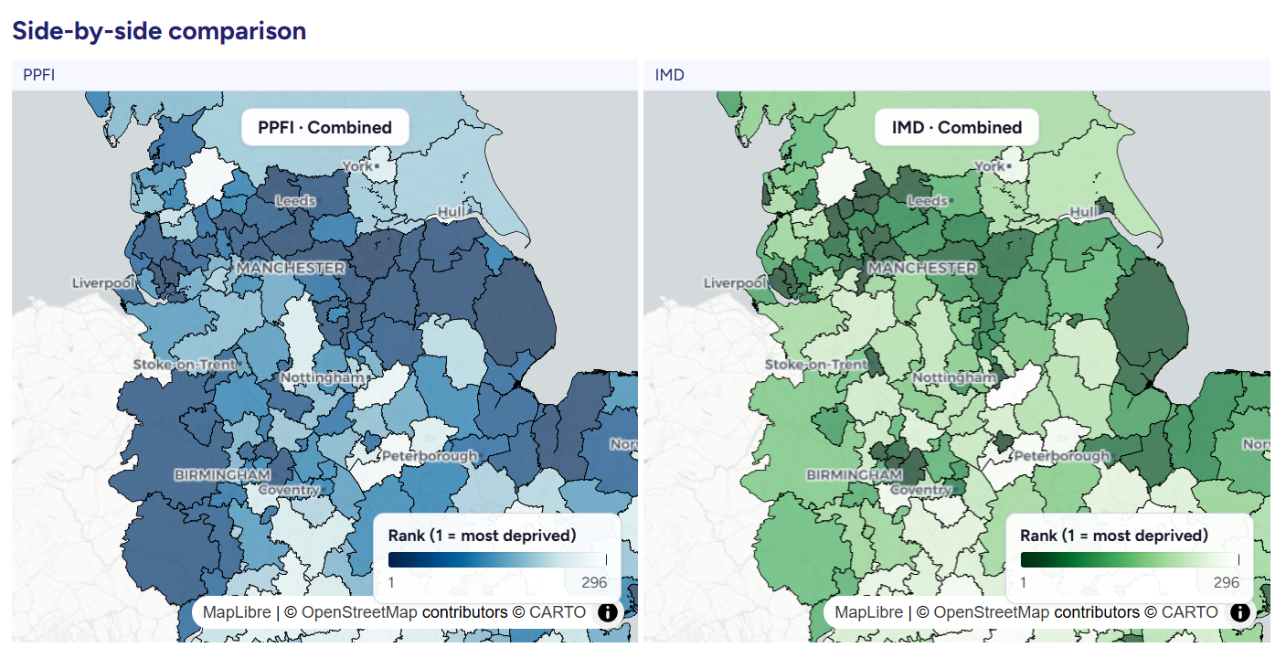
We have introduced an update to our platform, allowing users to explore a selection of our most commonly used open datasets through a new Map Explorer.
This feature brings together several datasets in one place, making it easier to view and compare information across different areas.
Datasets Available on Map Explorer
The Map Explorer currently includes:
- Consumer vulnerability – identify areas where consumers are more vulnerable to marketing practices due to their personal traits such age, health or household makeup.
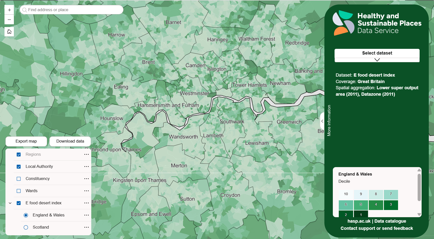
- E-food desert index – a novel measure of neighbourhoods with poor access to grocery retail incorporating indicators of groceries e-commerce home delivery availability
- Which? priority places for insulation – highlighting places around the UK which are most in need of insulation.
- Priority places for food index – highlighting places around the UK most in need of support to access healthy and affordable food.
- SIPHER inclusive economy indicators – explore the extent and nature of economic inclusion across Great Britain
- Spectus origin-destination data – Local Authority level origin-destination data derived from mobile phone GPS data.
How to Use the Map Explorer

Users can switch between datasets using the drop-down menu on the right-hand side of the screen. Each dataset is displayed as an interactive map, with several options for navigation and exploration:
- Zoom and pan using your mouse or the on-screen controls
- Search for a location by entering a place name, address, or postcode
- Click on areas of the map to view detailed information for that location
- Toggle layers on and off using the controls in the lower-left corner
Exporting and Accessing Data
The Map Explorer also supports exporting and accessing the data behind the maps:
- To export a map, select “Export map”, choose the page orientation, and generate a PDF
- To download data, click “Download data” to open the relevant record in our catalogue, where you can request access to the full dataset
Supporting Data Use
This addition is intended to make our existing datasets easier to access and use, particularly for those working in research, policy, and local planning. By bringing these resources into a single interface, the Map Explorer provides a straightforward way to view and work with place-based data.


")